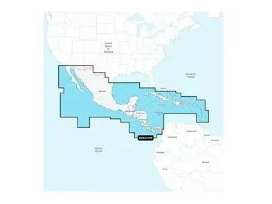
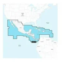
GARMIN NAV 010-C1459-30 Central America & Caribbean – Marine Charts | 010-C1459-30
Get the world’s No. 1 choice in marine mapping1 — with the best, most up-to-date Navionics®+ cartography on your compatible chartplotter2. For offshore or inland waters, this all-in-one solution offers detail-rich integrated mapping of coastal waters, lakes, rivers and more. Get SonarChart™ 1’ (0.5 meter) HD bathymetry maps, advanced features3 such as dock-to-dock route guidance technology4 and live mapping. Choose Navionics Platinum+™ charts for additional premier-grade chart features3, including high-resolution relief shading, high-resolution satellite imagery and 3D views. The Navionics® Chart Installer software ensures the freshest chart data every time out. Navionics route guidance solutions give you a suggested path to follow through channels, inlets, marina entrances and more. Multiple shading options aid in shallow water navigation and make it easy to highlight a target depth range for the best fishing spots.

